Showing posts with label gates. Show all posts

Tuesday, 17 July 2012

North from Auchnagatt

The Buchan Formartine Way is crossed by the busy A948 close to the former Auchnagatt station. Our walk north from the station was through pleasant countryside, the Line follows the course of the Ebrie burn for the first mile or so and the gurgle of the burn could be heard in lulls in the noise of the traffic. Because the Line follows the watercourse and a wide valley flanked by gentle hills, there is a feeling of walking through a wide basin. The walk was fragrant firstly with dog roses, then as we passed through marshy fields with meadow sweet and sweet cecily, opposite Teuchitfold there was the  strong resinous smell from a  plantation of young conifers. 
Auchnagatt Village Hall is  situated adjacent to the site of Auchnagatt Station, the carpark is convenient for the walking  the Line.


The hall retains a slightly ecclesiastical air derived from its origins as the East Independent  Church in Stuartfield. This very small denomination was formed by the supporters of Reverend George A Johnson, a popular and gifted preacher who was removed from his charge at Deer parish Church in 1892 on account of his drunkenness. Loyal members of his congregation supported him and and built a church in Mill Street, Stuartfield at which he was able to continue his ministry. Known as The East Independent  Church, the wooden church had a slate roof and seating capacity of 450.  Johnson preached in  the church from 1893 until 1903 when he became a lay preacher in Shetland before eventually returning to the Church of Scotland. Meanwhile, in Auchnagatt it was  decided that the village needed a public hall and that the then  redundant Stuartfield church building should be purchased. Each member of the organizing committee contributed £5 and additional funds were raised by the community through various events to pay for the removal of the building from Stuartfied and its re-erection close to the railway Station. 

The Elbrie Burn runs between the Village Hall and the station then flows alongside the Line. It  joins the Ythan just north of Ellon. The name Auchnagatt is said to mean the place of the withies (willows) and to be derived from the baskets and creels  woven in the village from the willows growing alongside the Elbrie.

Auchnagatt Station, the concrete posts which supported the station name remain, the trees growing on the former platform include willows.

An eye catching sprawl of geranium above cow parsley and sweet cecily on the platform.

All that remains of the once busy station yard at Auchnagatt, in its heyday sidings and  five goods sheds dealt with  agricultural freight. Old O.S. maps indicate that there was a corn mill close to the station.

Foxgloves, dog roses and hogweed close to the station. There were many wild flowers along this pretty section of the Line, notably heartsease pansies, birds'foot trefoil, yellow rattle and white clover.


This bridge  just north of Cairncummer carries a farm road over the Line, an additional arch allows the Ebrie to flow under the farm road. The bridge retains part of the old telegraph wires which ran along the whole Buchan Line

A very well preserved precast concrete Linesman's hut in  a stand of beeches near Greenbrae.

Sliver birches along the Line north of North Greenbrae. There  extensive  rosebay willow herb along the route (as on the left above)
Approaching Auchnagatt from the north

Friday, 31 December 2010

Hogmanay Walk: Kirkton to Rathen


Fields flooded with still partially frozen melt water, wreaths of snow on Mormond and in the ditches, is there still more to come?


The flooded fields support large flocks of wildfowl, hundreds of unidentifiable ducks in Wet Fold and on these fields near Kempen Hillock, whooper swans.There were curlews and dismal crows in the fields, a patch of white feathers on the Line  where a pigeon had met its end.

This morning we enjoyed most of an end of year walk from Kirkton to Rathen Station, round by Hillhead of Cairness and Invernorth returning along the line. The last mile was marred by coinciding with another walker who decided to walk along with Rufus and me, completely ruining the last part of the walk. How much one misses when having to emerge from one's head make conversation.The thaw which began several days ago has melted most of the snow but wreaths remain in the shade of the embankments and in places on the line. There are filthy black piles of snow dumped by the snowplough at the roadside The extent of flooding in the fields is extraordinary. By Rathen Station we saw roe deer tracks in the snow and noticed that the young chestnut saplings near the Golf Club have been striped of bark, presumably by the deer.
An original Harper Ironworks gate close to Mill Farm.
Close to Rathen Station this fireplace, complete with fire basket, is all that remains of a linesman's hut. It is usually well hidden by the rosebay willowherb - now reduced to bare stalks.


Tuesday, 28 September 2010

Howe o Buchan to Newseat

The remains of the level crossing at the slip road near Howe o Buchan, there is a gate for pedestrians on the right. Water for the engine tank at the railway station in Queen Street was piped from the Howe o Buchan Estate and given a suitable fall by being raised to the top of the brae at Blackhouse  by a hydraulic ram. 
The level crossing gates. Visiting this area a few days later Grey Granite noticed that extensive earthworks and flattening of trees have been carried out. It is to be hoped that this does not destroy the crossing gate posts.

This walk was characterised by the bright haws along the line and the disappointing graffiti under many of the bridges between Howe o' Buchan and Inverugie. Boulders along the track side here are pink Peterhead granite.
Inverugie station is now rather disappointing, the station building, which was rather grander than most, is hidden from the line by the wall. In view of the level of graffiti and litter on the line the building of the wall is entirely understandable.


The back of Inverugie Station.
 'The Howes o Buchan' records that in the1860's  there was 'much excursion traffic to the station, attracted by the beautiful walks and interesting ruins in the vicinity'. These include Inverugie Castle associated with the Keiths, Earls Marischal and a prophecy of Thomas the Rhymer. Grey Granite has been told that until the mid 20th century a popular Spring outing from Peterhead was to take the train from Peterhead Station to Inverugie to visit the Pinkie Braes there. Just beyond the station the Line is crossed by a minor road to Longside. At this crossing  the remains of the bridge which would have taken the line over the road can be seen. Inverugie Station closed to goods traffic in November 1960 and to passengers in May1965.


The bridge carrying the road to Berryhill farm has wooden railings
 
The line is pleasantly bounded along this section by deciduous woods containing specimens of large well established trees including ash,beech and horse chestnut. The line is again crossed by several fuel pipe lines from St Fergus Gas Terminal
The bridge at Ellishill, here there are steep steps leading from the line to the road.The embankment close to Ellishill is 18.5 feet high hence the polite notice asking that, for safety reasons, the gate at the top of the steps be closed.

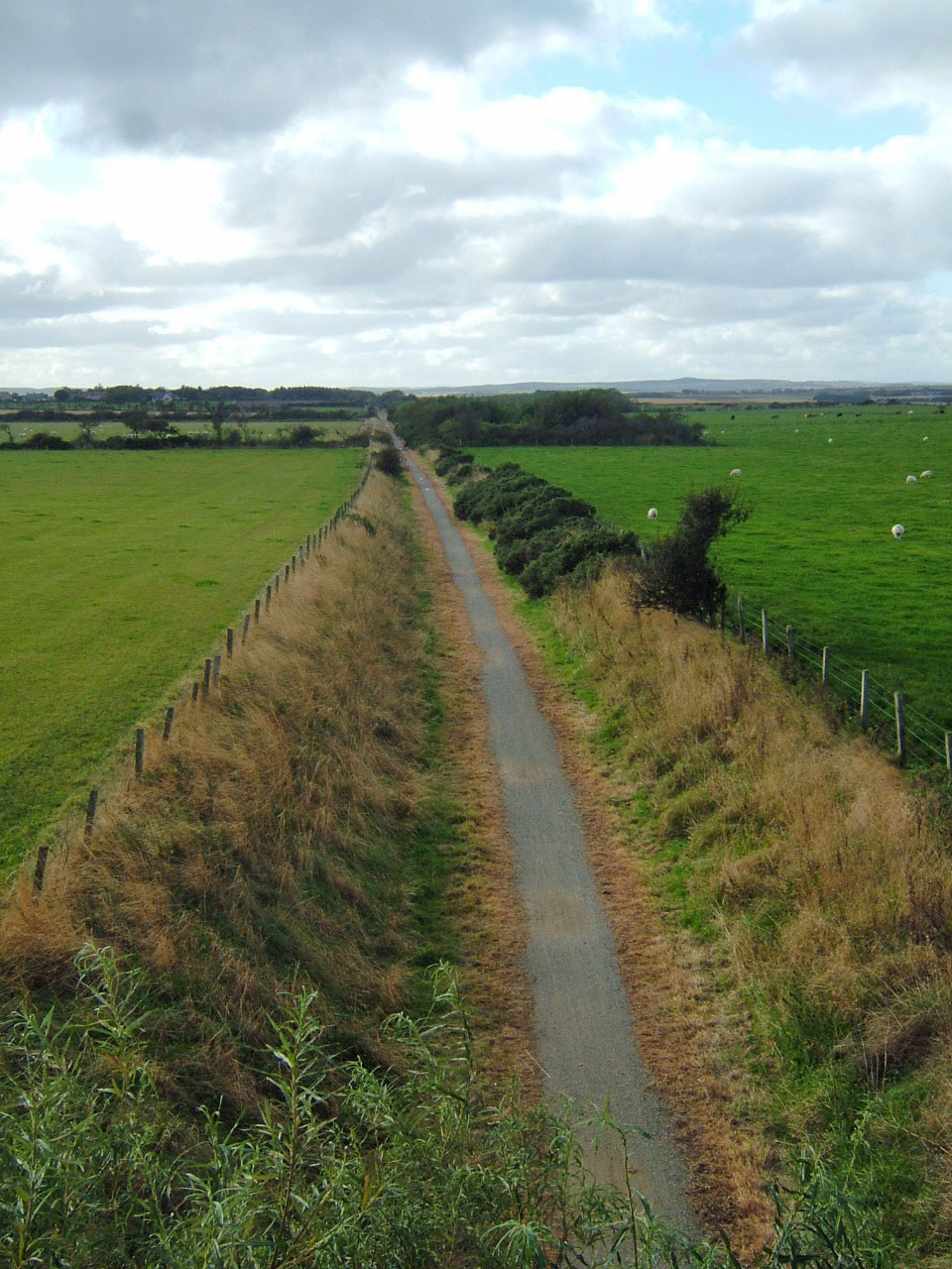
Looking towards Newseat from the Ellishill Bridge across one of the longest
'straights' on the Peterhead- Maud section of the line.

Longside Airfield, still used by light aircraft which were landing and taking off as we walked by.  During WW2 Newseat Halt was used by RAF personnel from the base.

Peterhead Airfield was built for the RAF in 1941, between Longside and Peterhead, and disbanded in 1945. At its busiest, there was in excess of 2,000 personnel stationed there, typically 1,576 RAF and 289 WAF, with up to five accommodation camps in use, serving a large number of RAF squadrons, and up to four Fleet Air Arm (FAA) squadrons. Amongst the nations represented were Australians, Canadians, New Zealanders. Poles, Czechoslovaks, Belgians, and Americans. Squadrons of particular note would include the RAF 13th Group (Night Fighters) the Royal Canadian Air force (416 Squadron) and the Polish Air Force (309 Squadron). Records suggest the airfield was used as a fighter station operating Hurricane, Spitfire, and Mustang aircraft, and provided protection for eastern convoys.


May-July 1944, 416 Squadron formed at Peterhead on November 18, 1941. In the same month, one person was killed, and three others injured, when a Ju-88 bomber dropped two bombs on the airfield.  (Secret Scotland)

Approaching Newseat halt from Peterhead. The platform appears to have been faced with wood, rather than the more usual  stone.


After returning to the Howe o'Buchan level crossing Grey Granite decided to walk a short way towards Peterhead Station. This involved crossing a hideous development area which was  a sea of bare earth with patches of weed. In the midst of this we were delighted to see a large charm of goldfinches feeding on thistle and charlock seeds.

Friday, 13 August 2010

Maud to Deer Abbey

Maud Station at the junction of the lines from Peterhead and Fraserburgh.
Maud was also the junction of several roads. Originally the settlement was called Bank of Behitch after a natural embankment used by carters to unhitch horses. When the station was first opened in July 1861 it and the growing settlement became  Brucklay Junction before changing to New Maud, to distinguish it from nearby Auld Maud,  eventually becoming known just  as Maud.
This section of line follows the valley created by the South  Ugie Water. The track meanders along the valley bottom in several gentle bends, these make for a more interesting walk than the long straight sections on the Maud to Fraserburgh branch.

Along the track there are several interesting relics of the railway. There are many original cast iron fence posts. These were usually manufactured by Harper and Co of Aberdeen and some bear an inscription to this effect. There are occasional surviving mile posts, the example pictured indicates 32.5 miles from Aberdeen.


<><><><><><><><><><>
&lt;> </>
</></></></></></></></></></><><><><><><><><><><>
</></></></></></></></></></>
A lengthman's hut, unlike wooden examples seen so far, this hut is constructed from concrete panels and probably dates from the 1950s

Rosebay willow herb growing by an occupation crossing, this led to a small stone quarry close to the track
Common toadflax (Linaria vulgaris)

Along the track there is a range of  tree species including ash, mountain ash, elm, willow, elder, hawthorn and apple. Wild flowers include heartsease, scabious, bluebells, hardheads, vetches and willowherbs.